ODP Legacy > Scientific Results > Leg Summaries > Leg 170 >
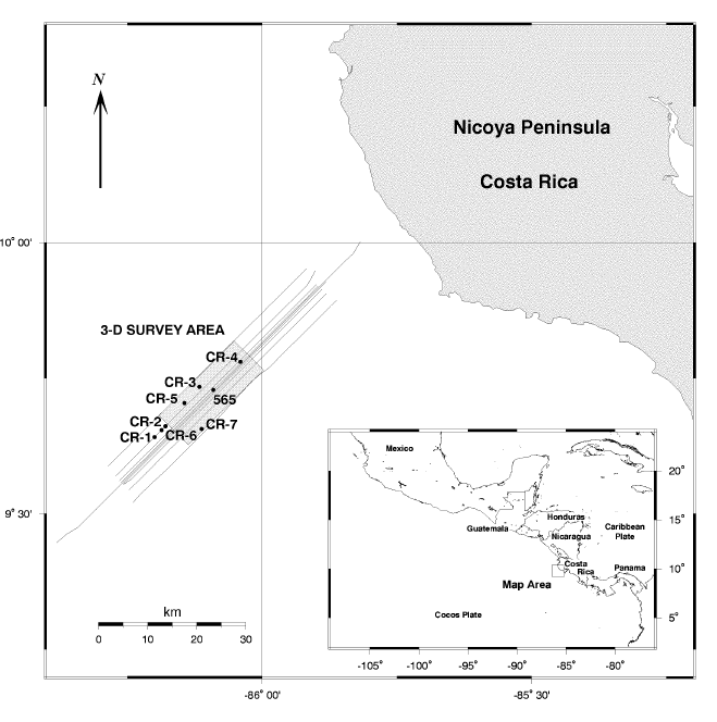
Location of 2D and 3D seismic profiles from 1987 cruise of Fred Moore. Inset shows map of Central America, Cocos Plate, and Caribbean Plate. Nicoya Peninsula is located just below the "C" in Costa Rica on the inset drawing. The stippled rectangle shows the location of the 3D seismic grid. The longer lines are 2D profiles.
Program administration |
Scientific results |
Engineering & science operations |
Samples, data, & publications |
Outreach |
Overview |
Site map |
Search |
Home
For comments or questions, please contact webmaster@iodp.tamu.edu.
Copyright Consortium for Ocean Leadership