ODP Legacy > Scientific Results > Leg Summaries > Leg 201 >
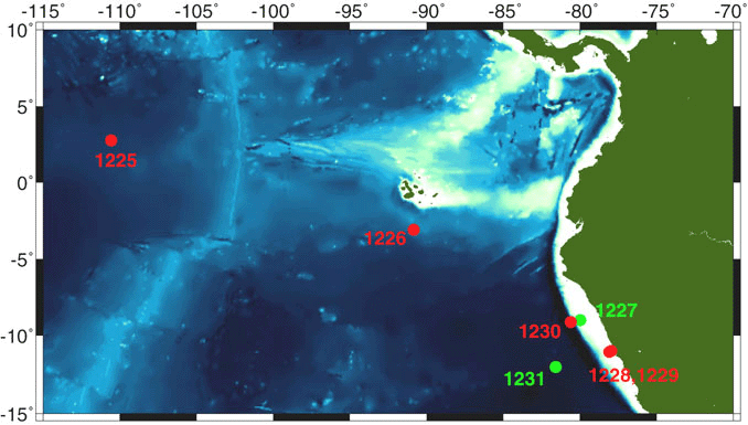
Location map of the sites drilled during Leg 201 in the equatorial pacific and on the Peru margin. Sites where logs were recorded are in red.
Program administration |
Scientific results |
Engineering & science operations |
Samples, data, & publications |
Outreach |
Overview |
Site map |
Search |
Home
For comments or questions, please contact webmaster@iodp.tamu.edu.
Copyright Consortium for Ocean Leadership